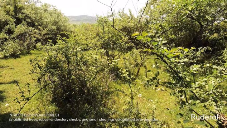
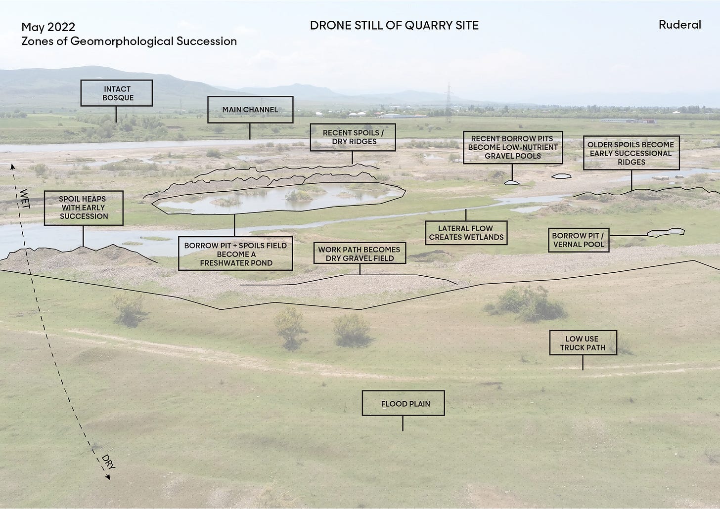
In the riparian zone, floodwaters create a diverse field of geomorphological conditions and habitat patches, ranging from well-established bosques to gravel floodplains deposited by recent floods. These diverse habitats are created by the geomorphological dynamics of the river, but also by human disturbances such as the excavation of mining material and the accumulation of mining byproducts, called spoil heaps.
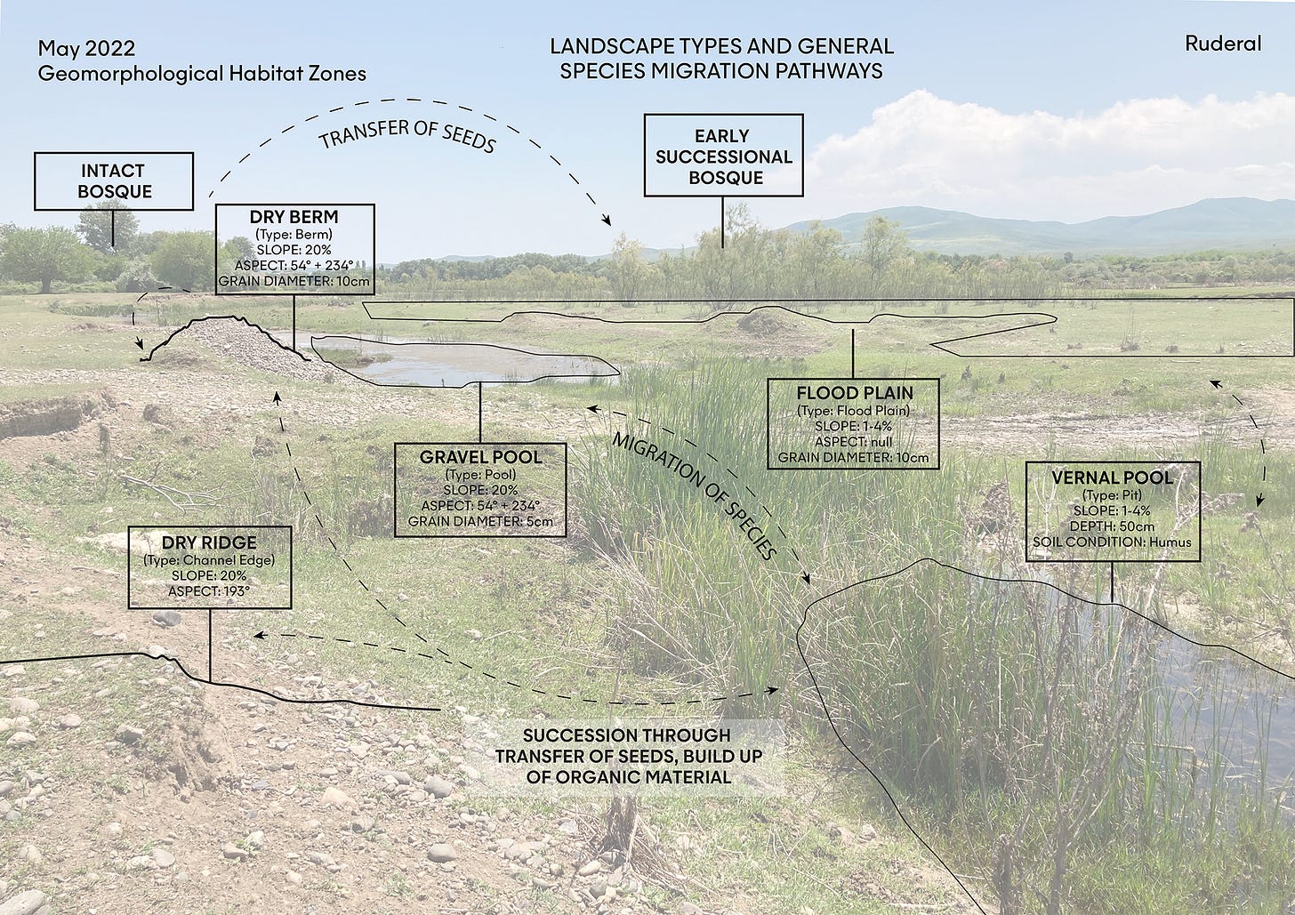
This type of diversity is geomorphological, and is driven by a collection of factors including elevation, slope, solar aspect (the orientation of a slope to the sun), rock/soil composition, exposure to the river’s main channel flow, and the influence of form at various points of the river’s flow cycle. Our proposal uses digital modeling tools to replicate these geomorphological factors and generate a landscape with increased geomorphological diversity.
The geomorphologically diverse zones identified during our second site visit are also biologically diverse. The migration and dispersion of mammals, amphibians, reptiles, and birds (and at a slower rate, plants) takes place at the quarry site and the adjacent landscape. Unique living conditions favorable to different species are created due to varying material configurations and compositions, exposure to climatic elements and processes like erosion, and other factors of disturbance within each habitat zone.


