As public health efforts to contain COVID-19 gain traction and Georgia continues to welcome summer tourists, Khevsurs have opened their ancient fortresses and off-the-grid guesthouses to alpine tourists and trekkers for the season. However, work to rehabilitate the only major land connection into the north-mountain region of Khevsureti is ongoing.
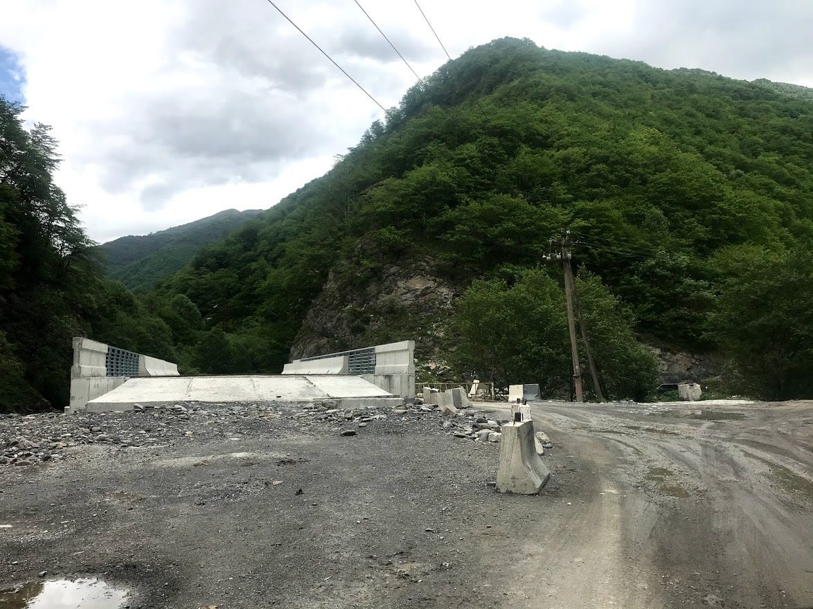
The new bridges hint at the higher classification of the planned road—its alignment will be straightened out to allow for passage at higher speeds.
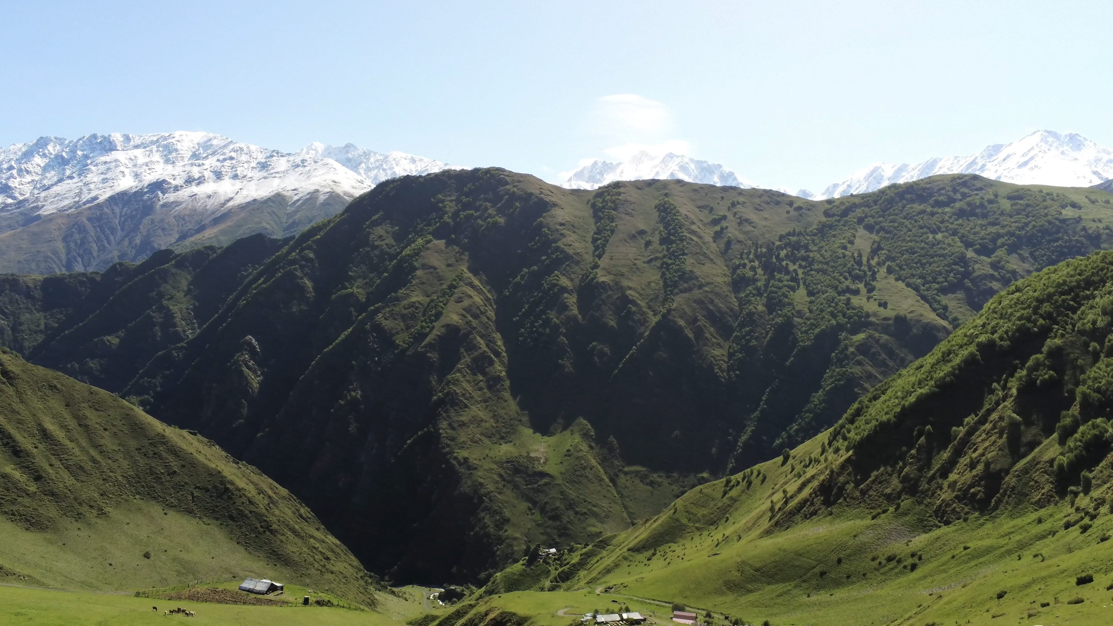
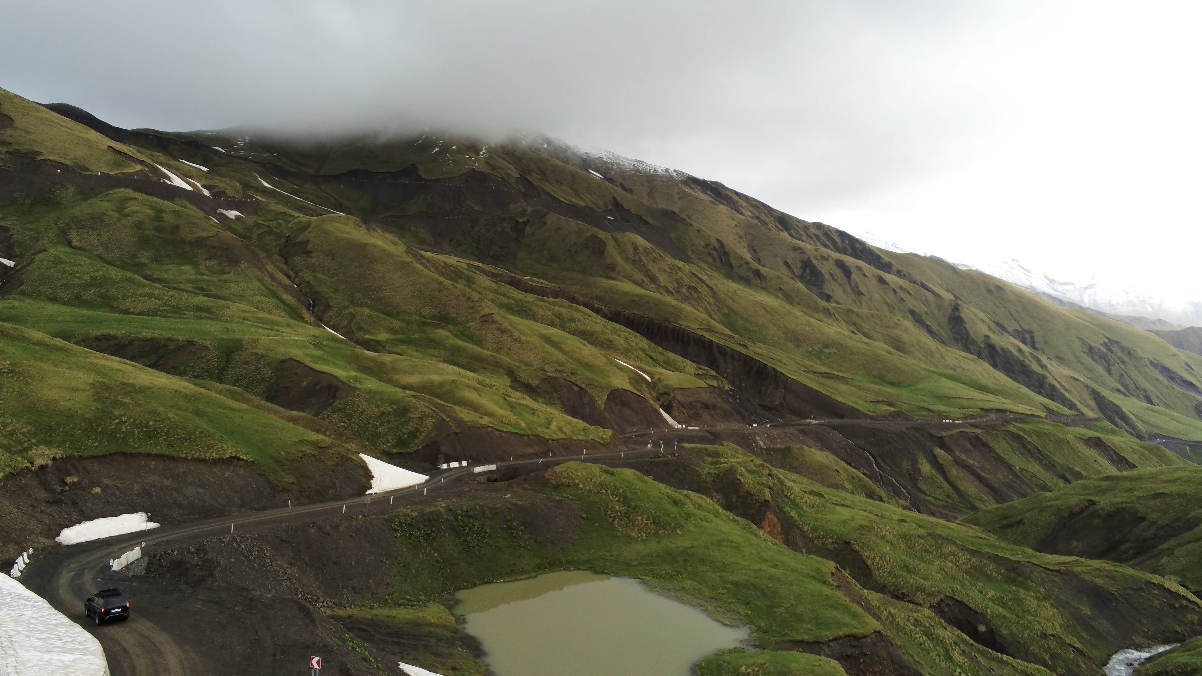
The Araghvi River valley ends at Datvisjvari Pass (+2689m)
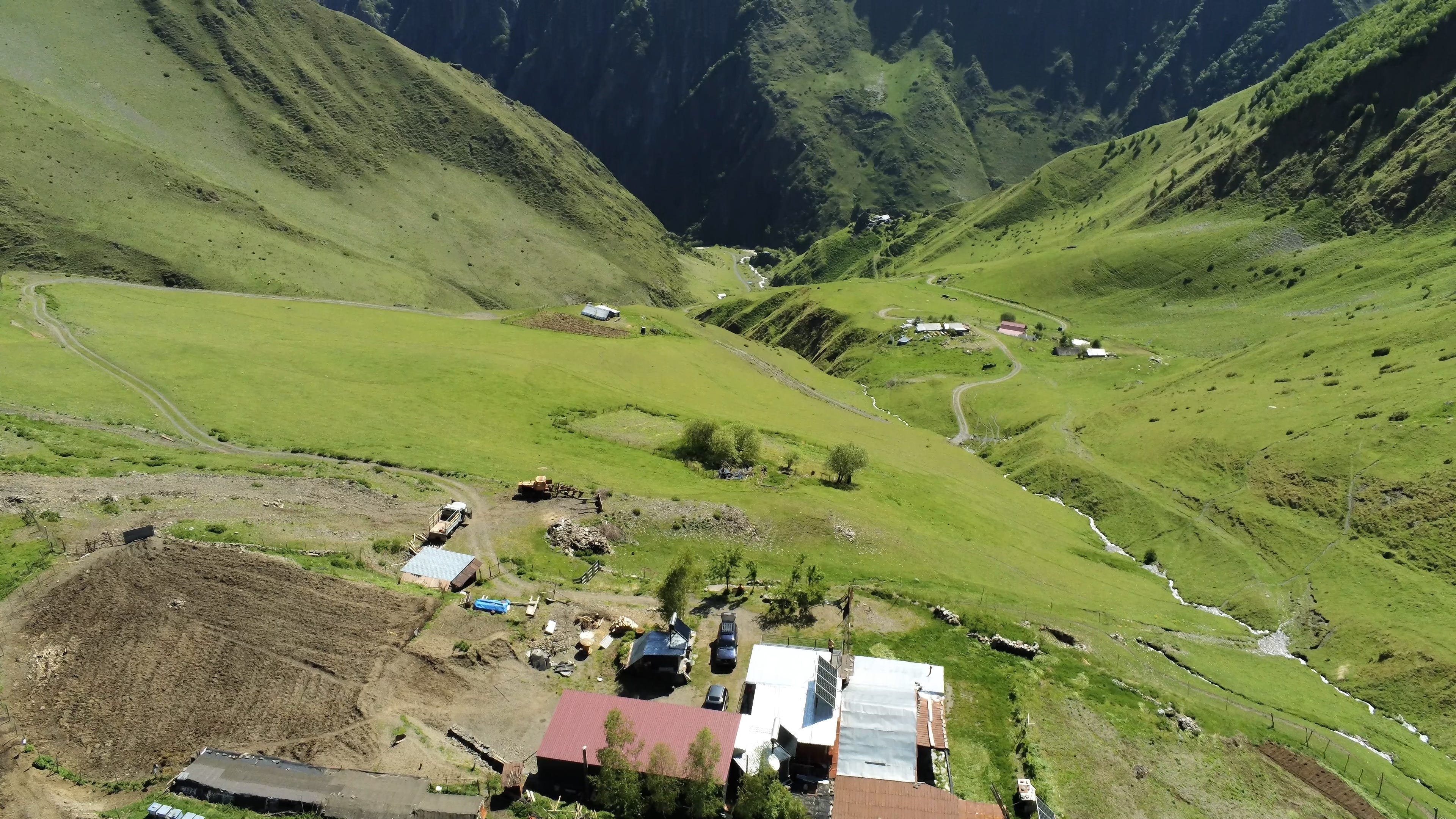
After Datvisjvari, the Arhuni river valley narrows and continues until Shatili, the region’s largest village.
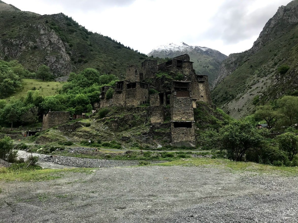
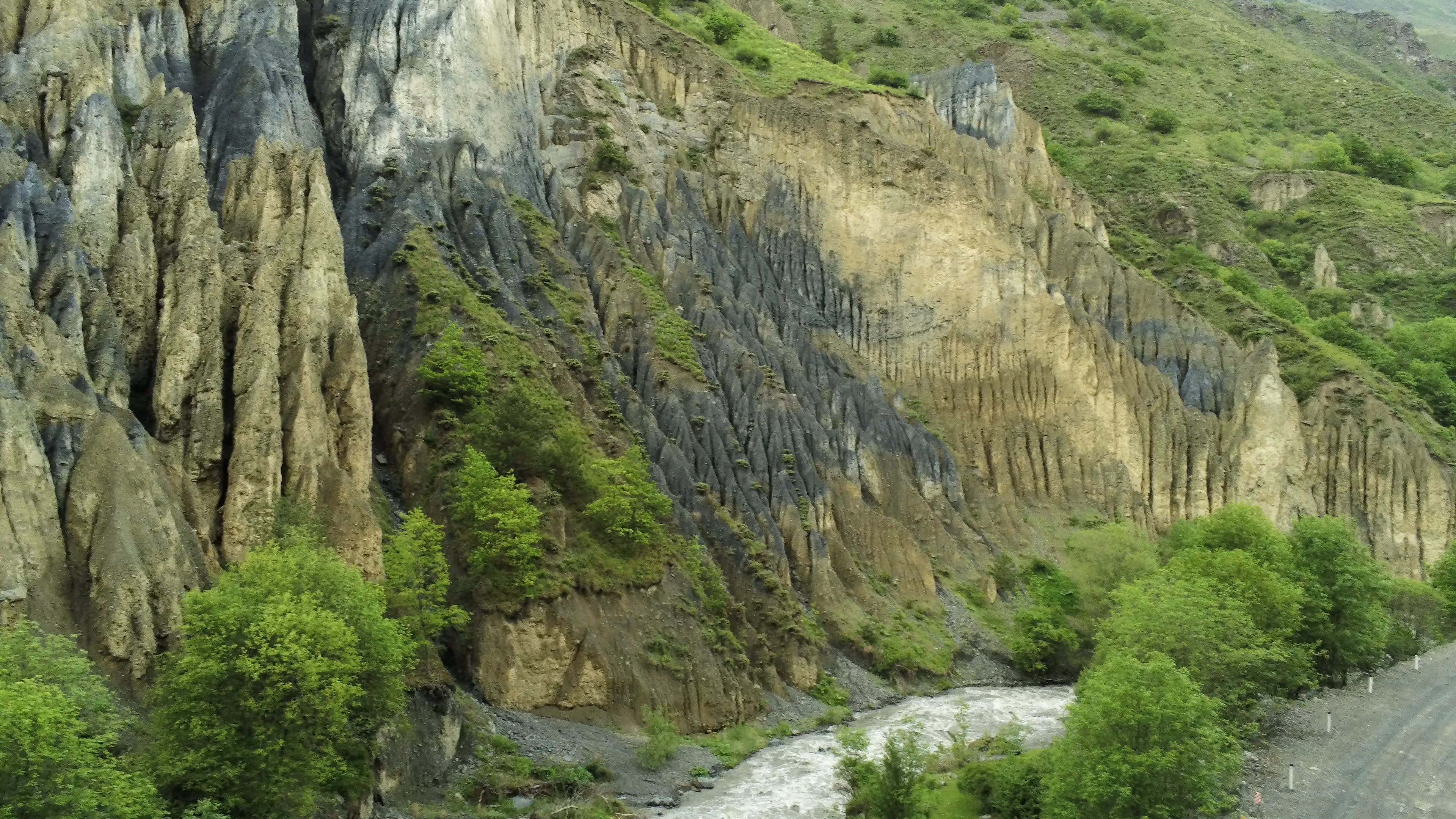
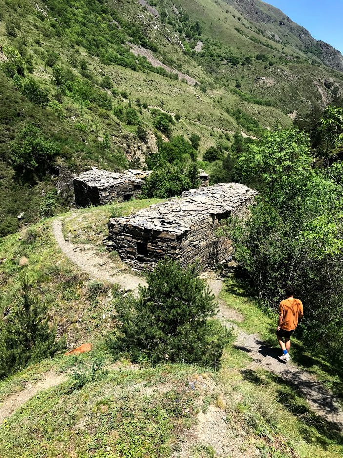
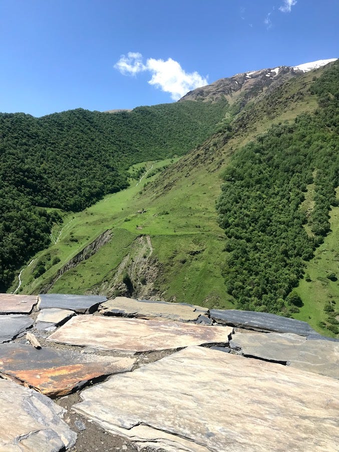
Khevsureti’s fortresses and the alluvial deposits below are both made of Khevsureti slate, which is either stacked to build walls and foundations or is pulverized by the river into an aggregate with a lighter appearance.
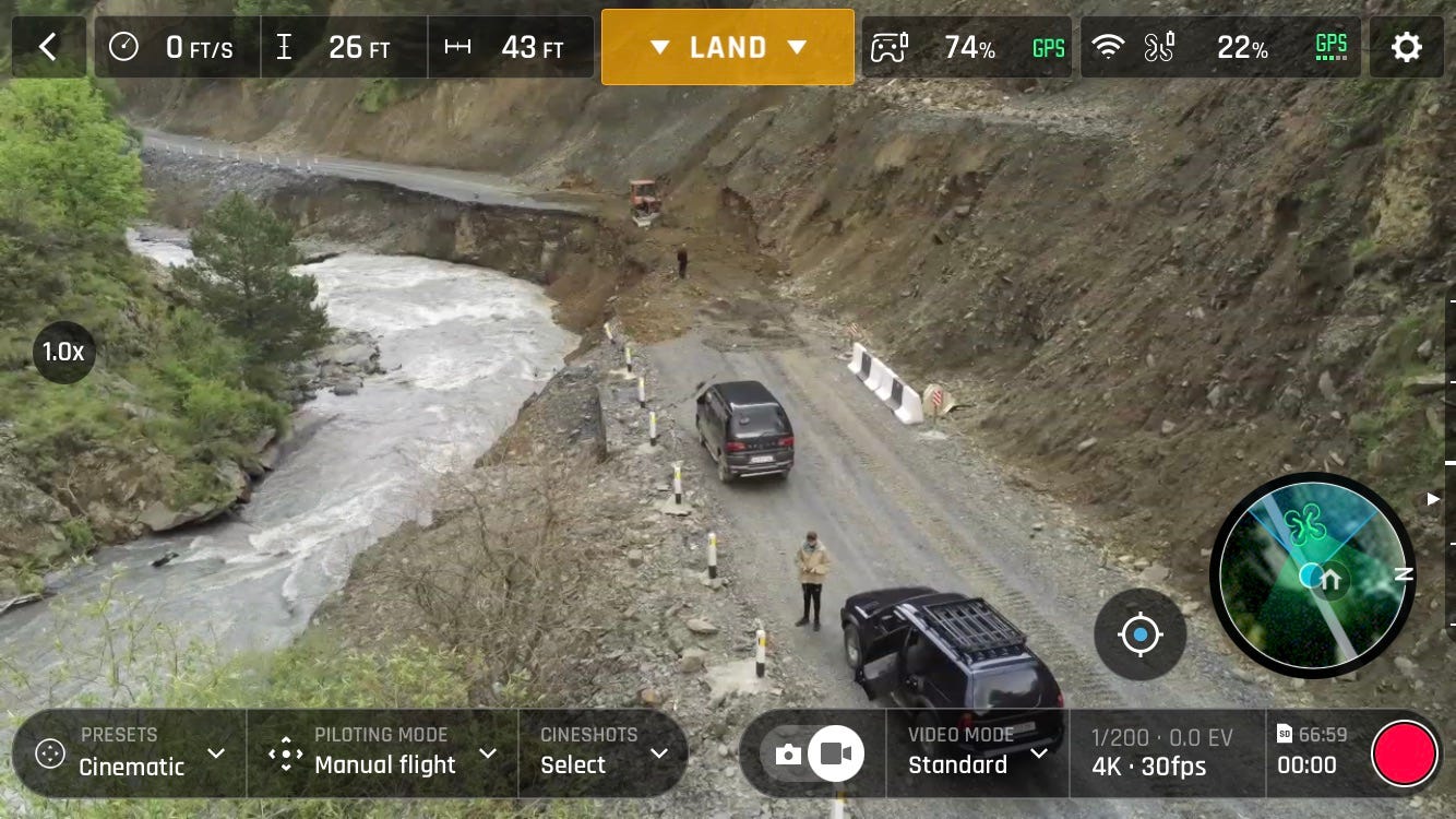

As the Arghuni erodes the foundation of the road, the slope above periodically slides over the remaining asphalt and into the river. While slate deposits are particularly striking and prone to flaking, softer deposits crumble away and reveal deep pockets of humus.
Excavators stand by to remove the slides, and they work almost every day to clear these unstable sections of the road. Here, between Shatili and Anatori, a sliver of the road remains but the excavator creates a temporary shoulder that’s safer to drive on.
At Anatori the road bends sharply to the right to avoid the border and heads into the Andaki River Valley, where it becomes a dirt track before reaching the village Mutso. The track closely intertwines with the Andaki River by crossing steel-decked bridges that give off a particularly discomforting clang. Work is also underway on new bridges here.

Seven hours after leaving Tbilisi, we arrived in Ardoti and began the final 200m rise to the Guest House Ardoti.